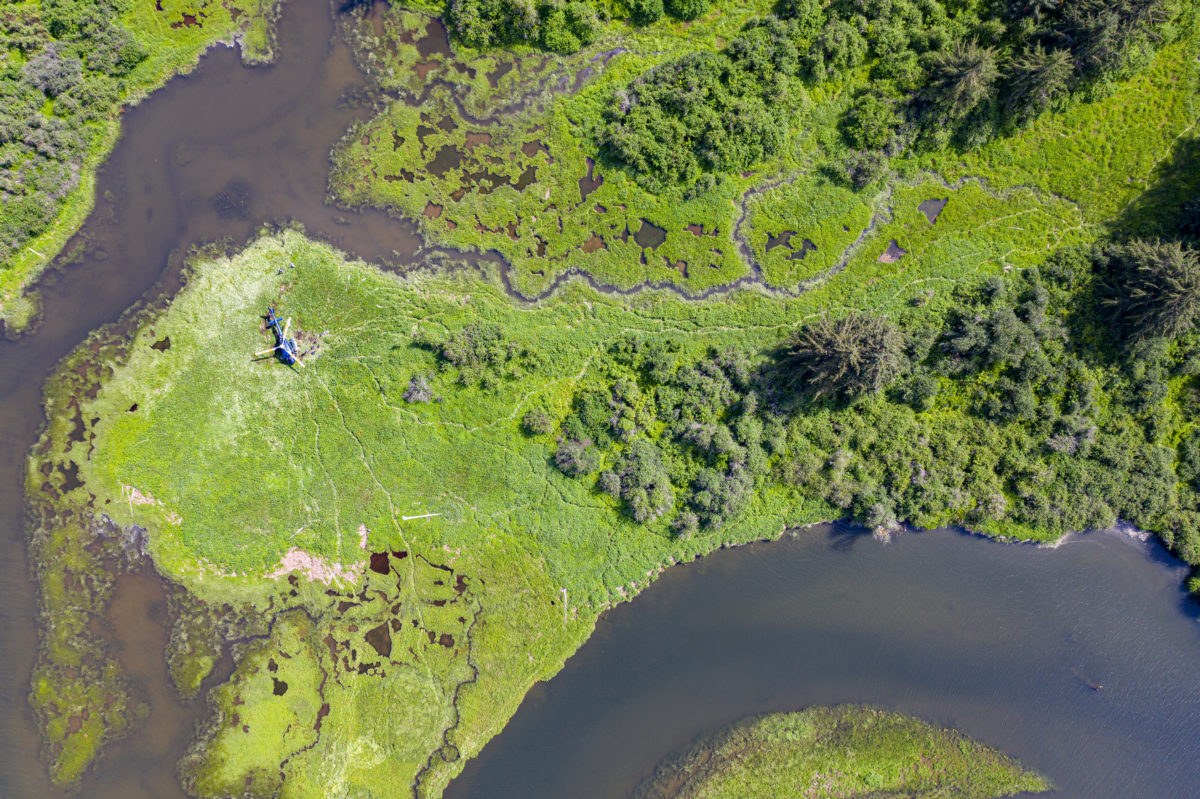
On a sunny day in June, a group of scientists along with the Nuxalk First Nation Coastal Guardian Watchmen visited the stunningly beautiful Asseek River estuary. They came to advance their work on the The Nature Trust of British Columbia’s (NTBC) five year Enhancing Estuary Resilience project.
The estuary lies on the central coast of British Columbia, south of Bella Coola, where the Asseek River meets the salt water of the South Bentinck Arm. The area is unique and ecologically very productive because there are four watersheds, in close proximity, as they meet the coast.
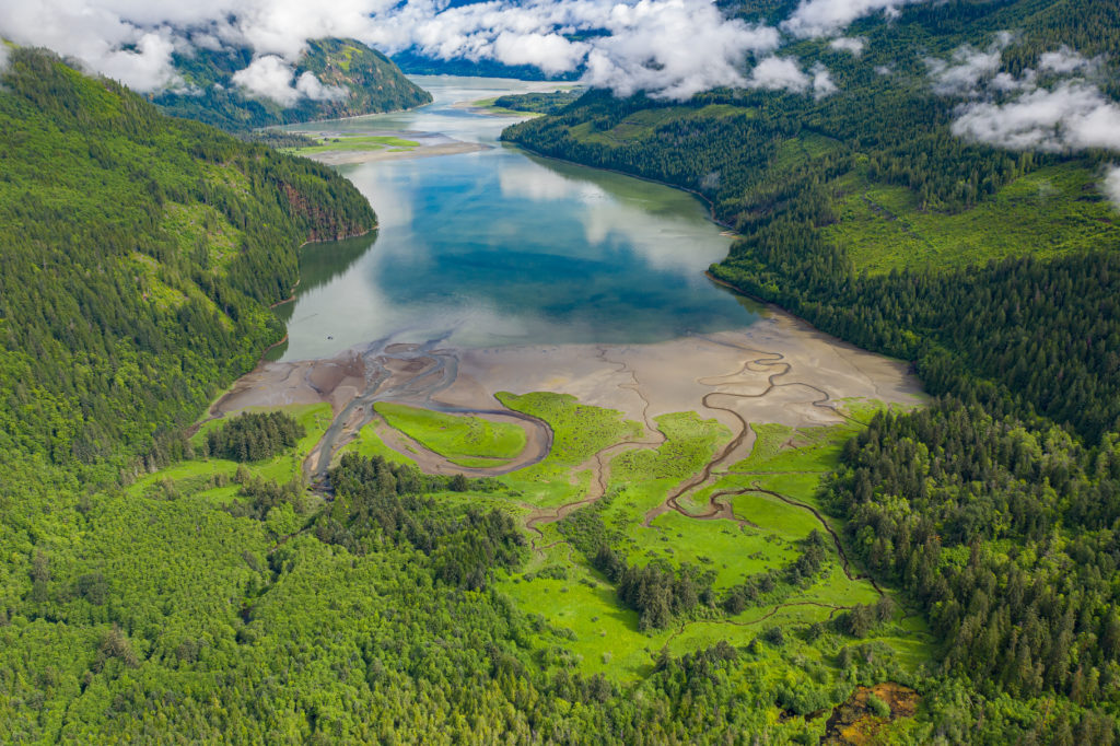
This photo (above) is the Asseek Estuary Conservation Area (foreground) looking up South Bentinck Arm to the estuaries of the Ickna, Taleomy, and Noeick River Estuaries.
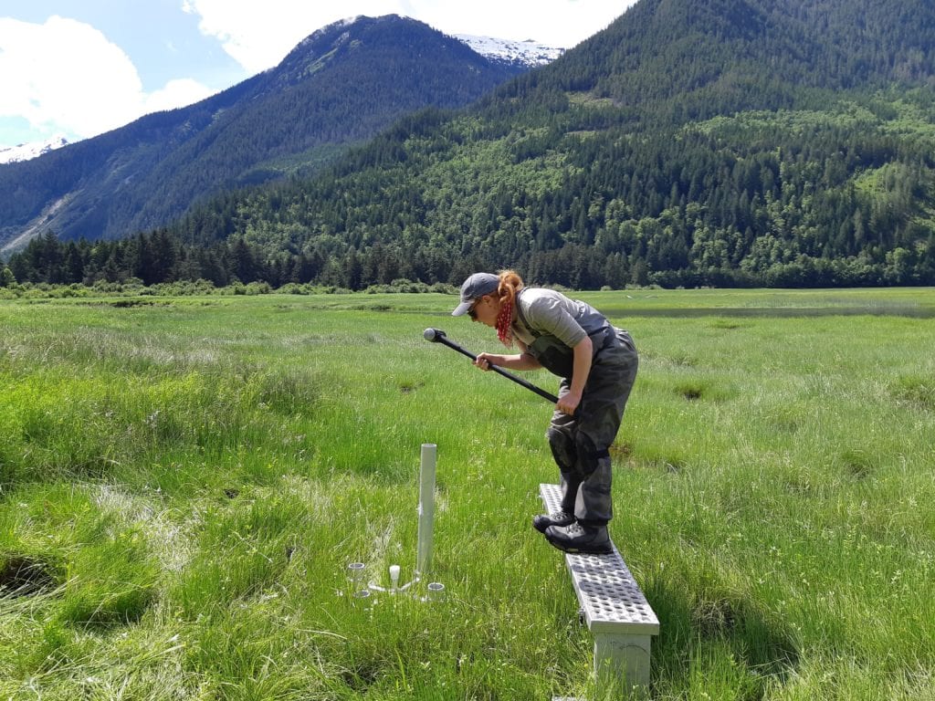
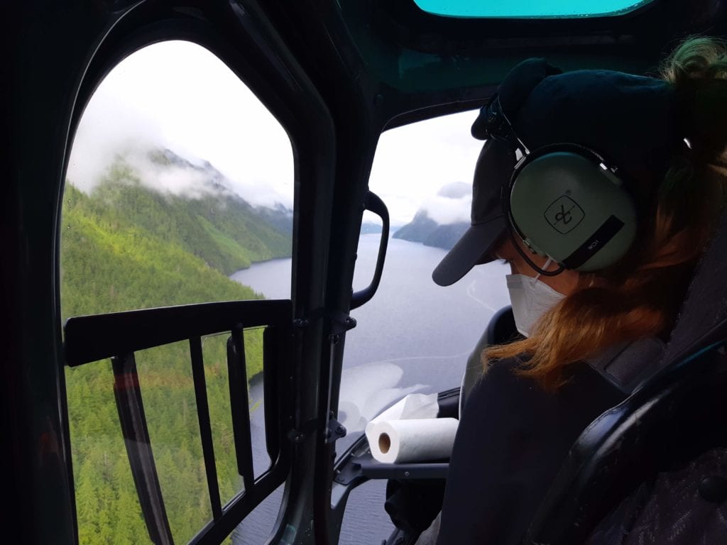 “We got a spectacular bird’s eye view of this remote wilderness area as we landed by helicopter,” said Senior Restoration technician Curtis Rispin. “This is truly BC in all its glory.” The team unloaded their gear and headed out to install new environmental monitoring equipment and to collect data from previously installed equipment. On this day they also met with the Nuxalk Guardians to conduct training for a new water quality monitoring program in the estuary.
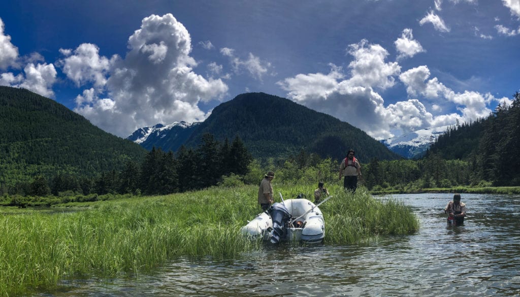
As one of 15 estuaries being monitored for the Enhancing Estuary Resilience project, the Asseek River estuary will add to our knowledge of the impacts of climate change on these sensitive ecosystems. Data will be collected for five categories of resilience: the distribution of marsh elevation, elevation change, sediment supply, tidal range, and the rate of relative sea-level rise. The metrics within these categories will provide baseline information to inform management, restoration, and securement decisions.
Estuaries and coast wetlands comprise less than 3% of B.C.’s coastline but support more than 80% of B.C.’s coastal fish and wildlife including critical habitat for Pacific salmon. And they are truly fascinating places teeming with life.
On this day, the team observed that the ‘potholes’ in this wetland that can be seen in the photos are full of Western Toad tadpoles. These little amphibians make use of the brackish waters. The potholes provide ideal water depth and temperature for breeding; they are being continually recharged with freshwater seepage from below and are temperature regulated by tidal seawater.
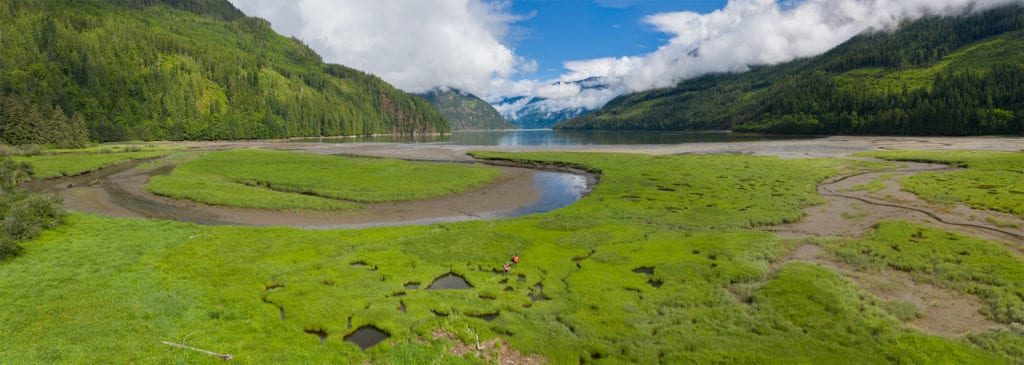
As the day went on, the crew carried out their work following COVID-19 safe work protocols and, importantly, bear aware guidelines – because, yes, all those trails you see in the drone photos, they were made by Grizzly Bears.
The BC Salmon Restoration and Innovation Fund (BC SRIF) is a contribution program jointly funded by Fisheries and Oceans Canada (DFO) and the Province of British Columbia. In 2019, NTBC secured a contribution agreement under BC SRIF to implement their five year project, entitled Enhancing Estuary Resilience: An Innovative Approach to Sustaining Fish and Fish Habitat in a Changing Climate.
